Bikealyze NEXUS in Use During Test Rides in Vorarlberg
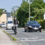
At the end of May, Salzburg Research conducted its first test runs in Vorarlberg using Bikealyze NEXUS. In Nenzing/Schlins and Götzis, the team investigated how motor vehicles overtake cyclists on various sections of road. This data will provide an objective basis for evaluating the safety of cycling infrastructure on rural roads.
The test rides took place in Nenzing/Schlins and Götzis in late May 2026. Despite the very high temperatures, a large amount of data on real-world overtaking manoeuvres in road traffic was collected. The aim of the test rides was to provide an objective basis for evaluating and developing safe bicycle infrastructure further.
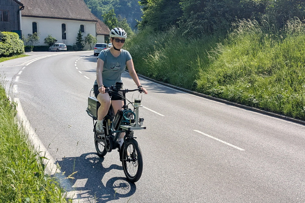
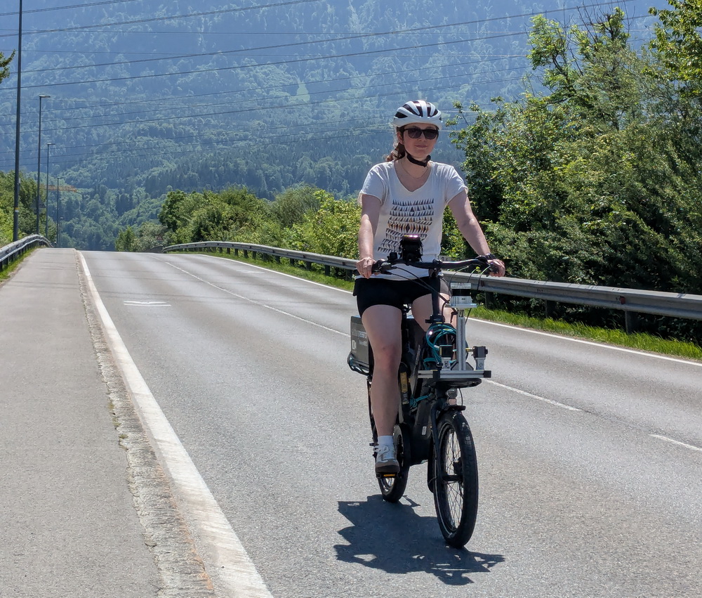
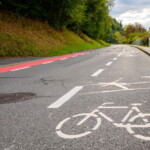
Overtaking behavior at sharrows between Nenzing and Schlins
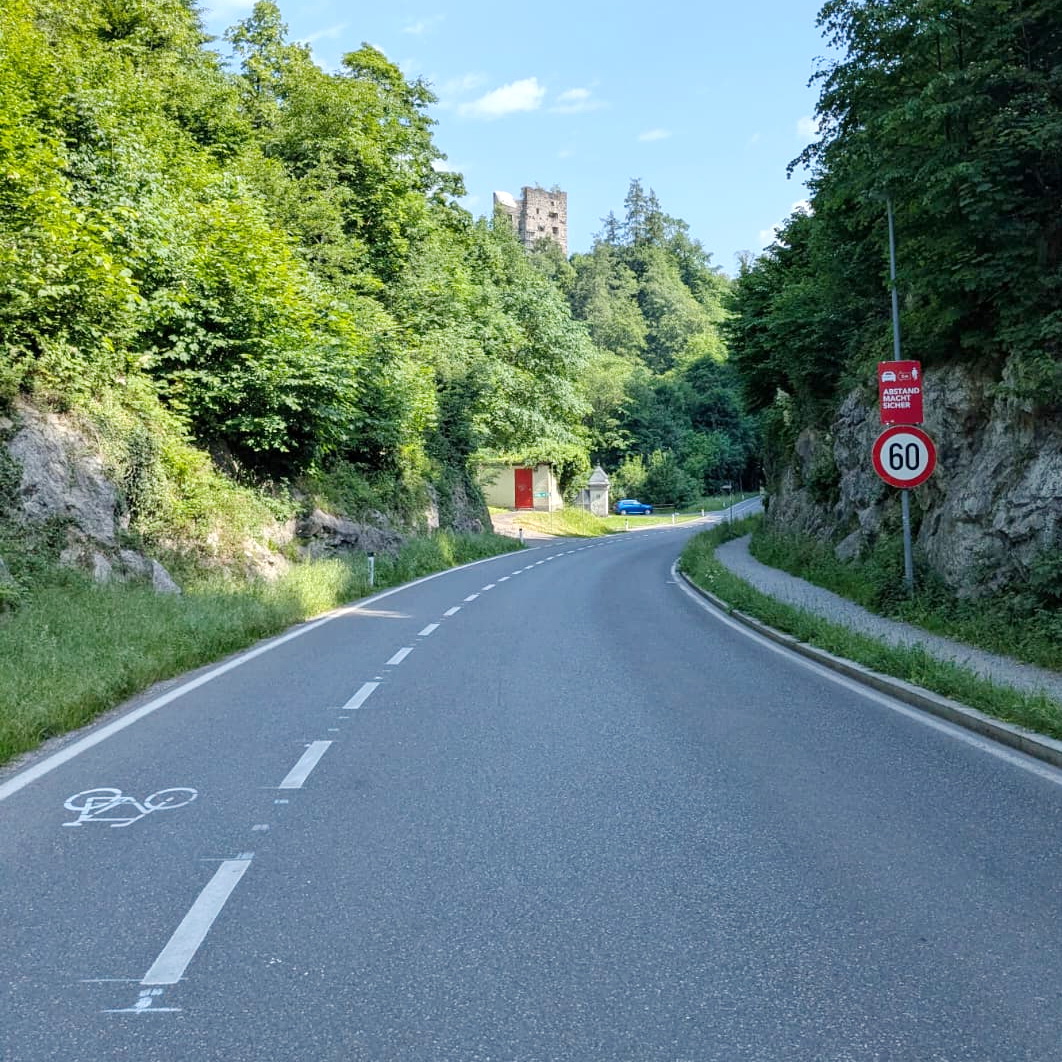
A test section of the L74, approximately 400 meters long, was studied between the municipalities of Nenzing and Schlins on behalf of the state of Vorarlberg. The study focused on overtaking behavior between motor vehicles and cyclists in areas marked with sharrows. Data was collected in the afternoon, between 2:00 pm and 6:00 pm. This also captured the evening rush hour between 4 pm and 6 pm.
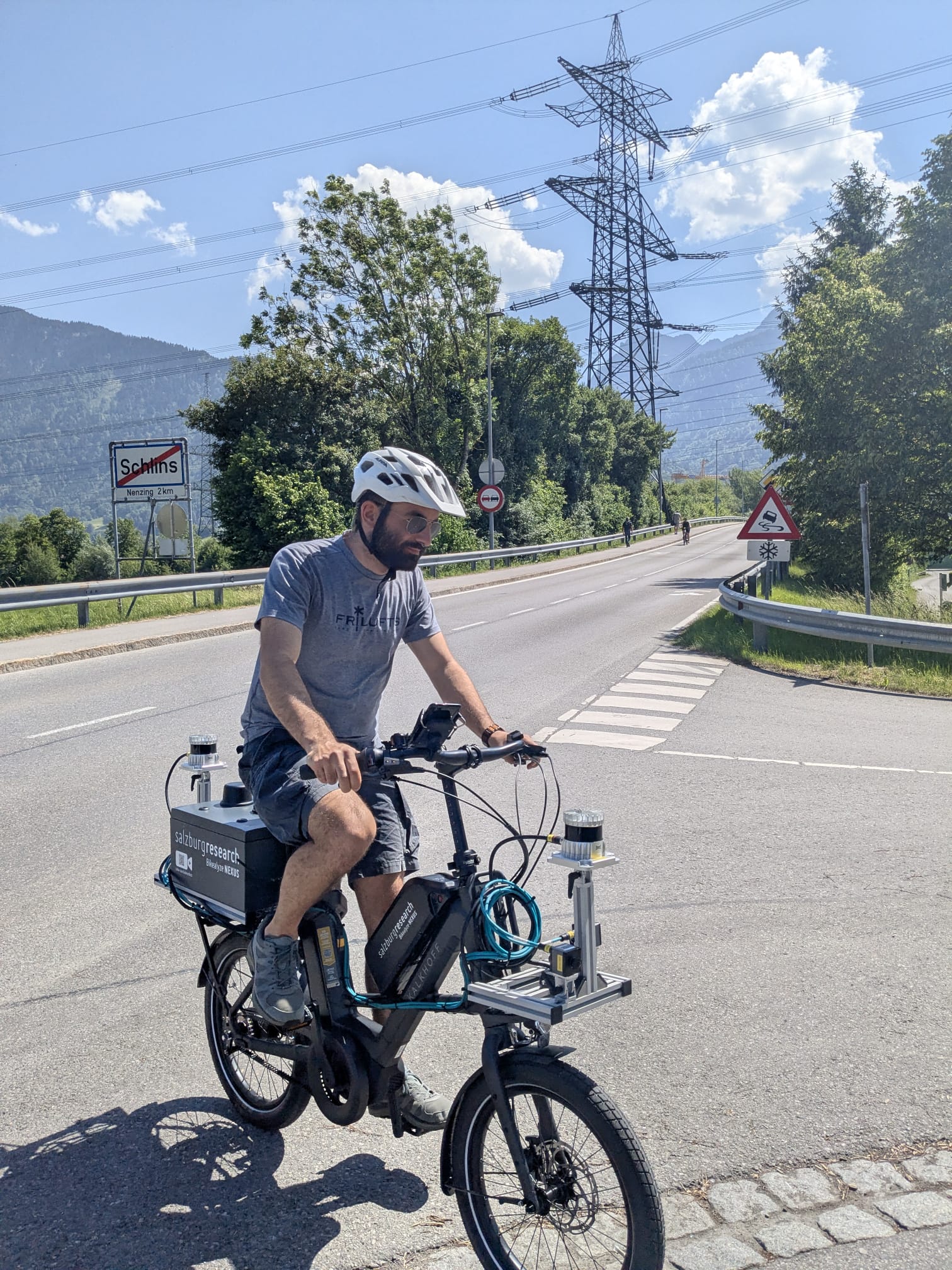
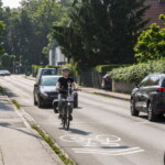
Multi-purpose lane on Montfortstraße in Götzis
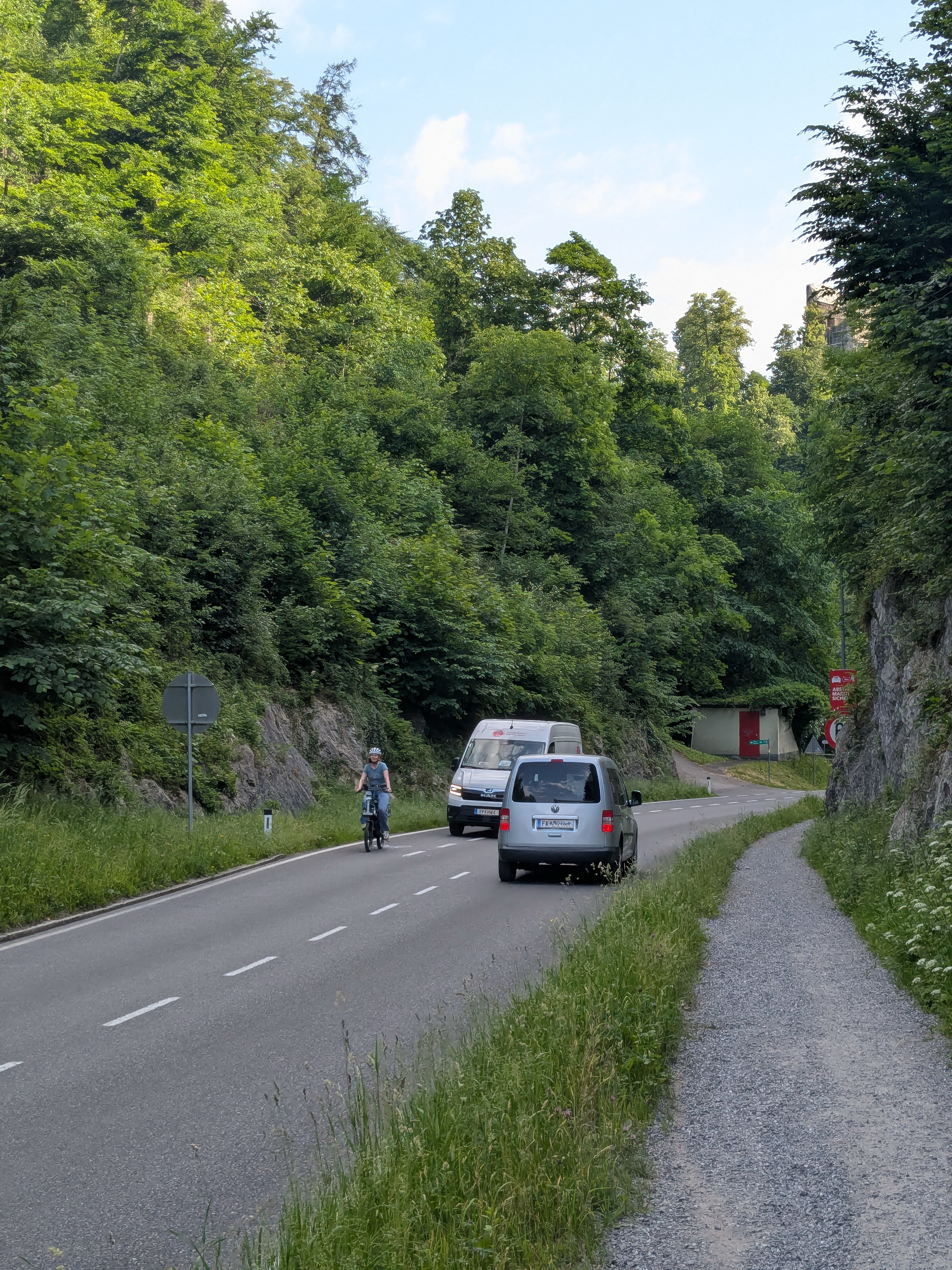
The test section on Montfortstraße, which is approximately one kilometre long, runs uphill from Götzis towards St. Arbogast. The study examined overtaking behaviour on a 1.75-metre-wide multi-purpose lane and a 4.5-metre-wide main roadway.
The road is wooded and winding with an incline. As a result, drivers do not have a clear view of the entire road, which is a particularly relevant factor when analyzing overtaking maneuvers and safe following distances. Data was recorded between 8:00 am and 10:30 am and from 3:00 pm to 5:00 pm.
These test drives were conducted as part of the research project MZSFreiland – Optimization of Cycling Infrastructure: A Study of Multi-Purpose Lanes with Narrow Central Lanes on Austria’s Rural Roads.
High-precision measurement data from real-world traffic
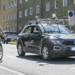
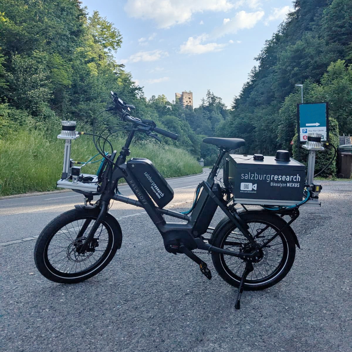
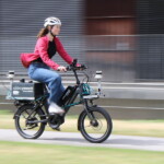
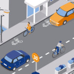
The new Bikealyze NEXUS research bicycle is equipped with a range of features, including a high-performance embedded computer, a high-precision GNSS system, two LiDAR sensors for three-dimensional mapping of the surroundings, three cameras, and a C-ITS on-board unit. The LiDAR sensors generate so-called point clouds, which are three-dimensional representations of the surroundings. This enables vehicles to be detected and their position and dimensions determined, as well as relevant parameters such as passing distances and speeds to be calculated. This data provides a solid foundation for scientific analysis and evidence-based measures to improve traffic safety for cyclists.
More information about the research bike: Forschungsfahrrad Bikealyze NEXUS
Research on Safe Cycling Infrastructure
Since 2021, Salzburg Research has used a specially designed research bicycle to objectively record interactions between cyclists and other road users in public spaces. The current test rides in Vorarlberg are providing valuable data with which to evaluate the impact of various infrastructure measures on passing behavior.
The findings from Nenzing, Schlins, and Götzis, among other locations, aim to provide practical insights into how to guide cyclists more safely on open roads, particularly in areas where there is limited road space and it is not feasible to have structurally separated bike lanes.
Other uses of the research bicycle:
- Test drives conducted to date in Carinthia and Burgenland as part of the MZSFreiland project: Sicher Radfahren auf der Landstraße: Test neuer Bodenmarkierungen
- Test of various road markings in the city of Salzburg: Markierungen wirken: Überholabstände erhöht
- New Bikealyze NEXUS Research Bike
- Markings Are Effective: Overtaking Distances Increased
- Safe Cycling on Rural Roads: Testing New Road Markings
- Research Bike Tests the Effectiveness of New Road Markings
- Making Cycling Safer in Constricted Road Conditions
- What Cyclists Expect from Self-Driving Vehicles