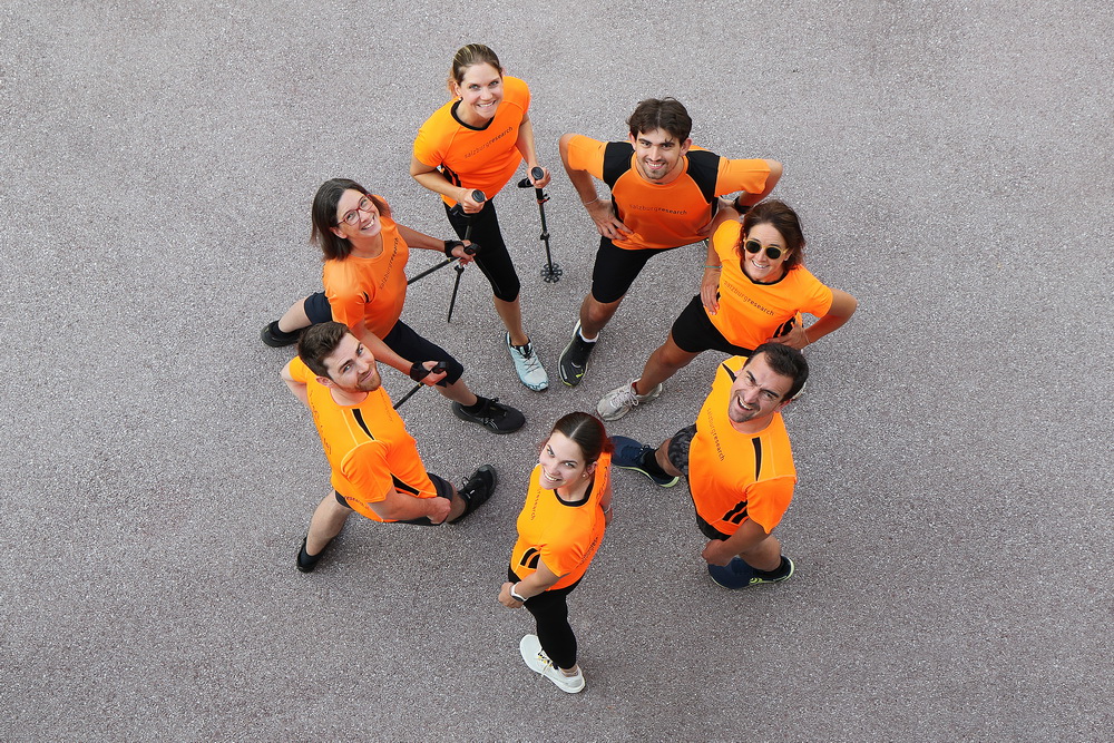
Safe Cycling on Rural Roads: Testing New Road Markings
How can cycling on rural roads be made safer? A new research project led by Salzburg Research is investigating this question. Funded by the Federal Ministry of Innovation, Mobility, and Infrastructure, the project is examining whether multi-purpose lanes with a narrow central lane could provide a solution to increase safety for cyclists on rural roads and address gaps in the cycle path network.
Pilot trials in three federal states
Initial pilot studies are currently underway in Burgenland, Carinthia, and Vorarlberg. These studies are accompanied by state-of-the-art sensor technology and social science surveys. The aim is to establish a solid scientific foundation for future transport planning, which is an important step towards safer and more climate-friendly mobility.
“We need new approaches to close gaps in the cycle path network outside cities where local conditions do not permit structurally separate cycle paths. Multi-purpose lanes with a narrow central carriageway are a promising model that we are now scientifically testing,” explains Sven Leitinger, project manager of the MZSFreiland research project and a researcher at Salzburg Research.
What are multi-purpose strips?
Multi-purpose lanes are specially marked sections of the road intended primarily for bicycle traffic but which may also be used by other vehicles under certain conditions. In Austria, the use of multi-purpose lanes with a narrow core carriageway (< 4.5 metres) is currently only permitted up to a maximum speed of 30 km/h in urban areas and is currently not possible on rural roads. For the first time, the MZSFreiland project is investigating the possibilities for their use on rural roads and examining their safety effects, acceptance, and practical feasibility.
Sensory analysis and social research in action
Salzburg Research uses state-of-the-art measurement methods to collect objective data: the Holoscene Research Bicycle uses LiDAR and video sensors to accurately record overtaking maneuvers involving motor vehicles and cyclists. Open Bike sensors and side radars also measure traffic volumes, speeds, and vehicle types.

At the same time, social science surveys and test rides are being conducted. “Our interest lies not only in objective safety but also in how safe cyclists feel and how acceptable the measure is to the general public,” emphasizes Eva Aigner-Breuss from the Austrian Road Safety Board (KFV).
Three test routes in Burgenland, Carinthia, and Vorarlberg
- Burgenland: A 1.1 km gap in the cycle network on the P456 Weppersdorfer Straße, between Weppersdorf and Lackenback, is being closed.
- Carinthia: A section of approximately 1 km of the L96 Wörthersee Südufer Straße between Auen and Oberdellach has been adapted for bicycle traffic.
- Vorarlberg: An uphill section of the L50 Montfortstraße, between Götzis and St. Arbogast, is under investigation.


The test routes will be marked in autumn 2025. Following an adjustment period, measurements and surveys will be conducted until the summer of 2026, with the results to be published in autumn 2026.
Research for safe, climate-friendly mobility
The MZSFreiland project is funded by the Climate and Energy Fund as part of the Zero Emission Mobility Plus 2024 program. It brings together experts from technology, transport planning, and social research:
- Salzburg Research: Project coordination, sensor technology, and data analysis
- con.sens verkehrsplanung: Bicycle traffic planning and policy development
- Kuratorium für Verkehrssicherheit (KFV): Safety analyses and acceptance research
The provincial governments of Burgenland, Carinthia, and Vorarlberg, along with local mobility agencies, are also involved.
“Our goal is to provide transportation planners with an evidence-based foundation for implementing special solutions. These initiatives will make it possible to build bicycle facilities in areas where this was previously impossible,” says Michael Szeiler of con.sens verkehrsplanung.