Blogposts mit Tags: Geographic Information System


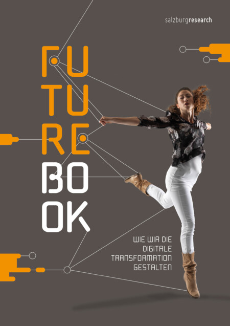
Future Book:
Wie wir die digitale Transformation gestalten
Mittels Trendanalyse haben wir relevante Trends analysiert und entwerfen daraus neun konkrete Zukunftsbilder in den drei Anwendungsfeldern Health & Sports, Smart Region & Mobility sowie Industry & Infrastructure:
 © 2024 Salzburg Research Zertifiziert nach EN ISO 9001