Digital Twin Warns of Hydroplaning During Heavy Rain
Heavy rain increases the risk of hydroplaning on highways. As part of the Austrian research project WETSAFE, Salzburg Research developed a system in collaboration with partners that simulates water films on lanes and provides early hazard information for traffic management and automated vehicles.
Heavy rain as a risk to traffic safety
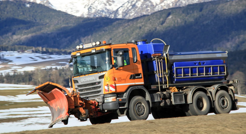
Climate change is leading to more frequent and intense weather events. Heavy rainfall, in particular, can quickly create dangerous puddles on highways. Depending on factors such as the amount of rainfall, road geometry, terrain, and drainage capacity, the risk of hydroplaning can increase significantly. This is especially dangerous for drivers because vehicles travel at high speeds on highways.
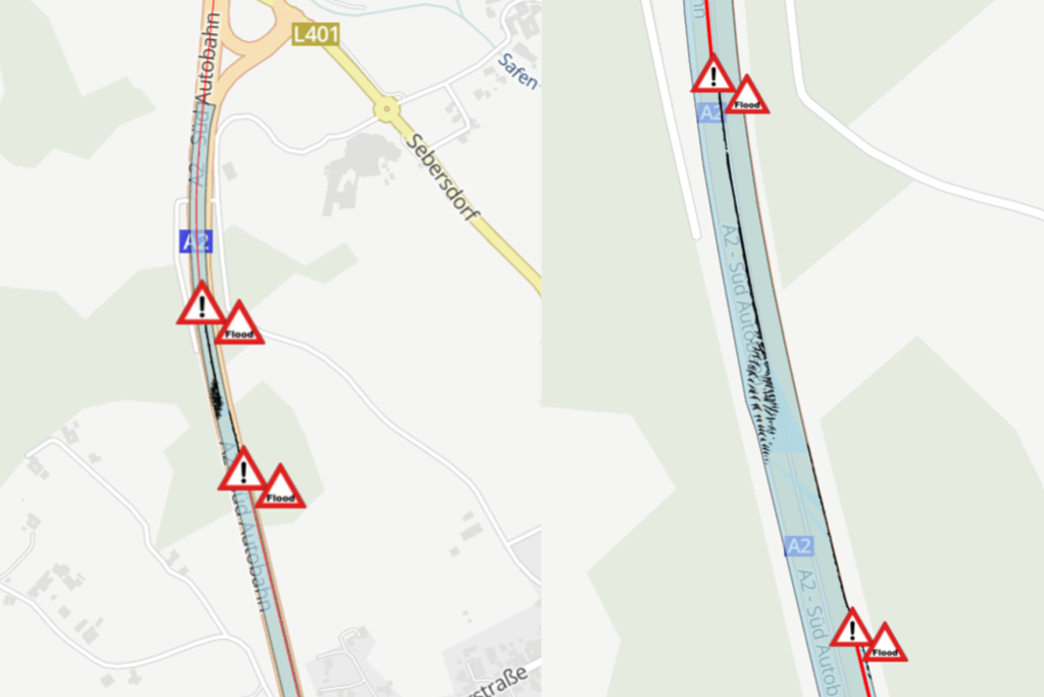
As part of the WETSAFE research project, an Austrian consortium developed a system that detects potential hazard zones during heavy rain early on. The system is based on a highly accurate digital replica of the roadway and its surroundings. The system simulates where water will accumulate on individual lanes and where hydroplaning risks may arise by combining this data with predicted rainfall amounts.
Digital traffic control and cooperative systems
As part of the project, Salzburg Research contributed its expertise in connected mobility systems, digital traffic information, and cooperative intelligent transportation systems. The goal was to process the simulation results so that they could be integrated into existing traffic information and management technologies.
These include digital traffic control systems and C-ITS applications, which enable the exchange of information between vehicles and infrastructure. This technology enables early warnings of hydroplaning risks for road users, emergency responders, and automated vehicles. This allows drivers to adapt their driving behavior more effectively to the hazardous situation at hand.
Prevention for infrastructure and driving behavior
The system provides more than just information for immediate warnings. Its realistic simulation of heavy rainfall events can help identify bottlenecks in road drainage systems. This allows road infrastructure operators to develop preventive measures and conduct targeted assessments of vulnerable areas.
As part of the project, the system was implemented, demonstrated, and evaluated on a hazardous section of highway. These findings can be applied to other sections of the highway network in the long term.
The earnings report is available for download here: projekte.ffg.at
JOANNEUM RESEARCH coordinated the project, and the project partners were GeoSphere Austria, FLUSSBAU iC GesmbH, and Salzburg Research Forschungsgesellschaft. The Federal Ministry for Innovation, Mobility, and Infrastructure and ASFINAG commissioned WETSAFE.