Blogposts mit Tags: Open Source

City Map

Easily managing transport graphs with “Graphium”

Efficiently managing Transport Graphs (TGs) is a crucial requirement of Transport-related Geographical Information Systems (GIS). A TG models a transport network as mathematical graph structure of vertices and edges. TGs... » more
P4 Behaviral model

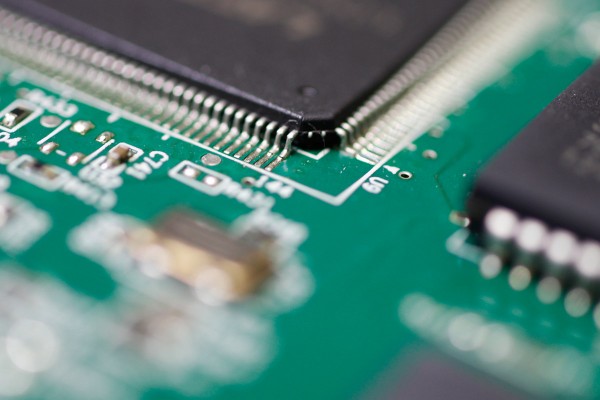
SDN2.0: P4 overcomes the limitation of customer silicon in network switches

Industry 4.0, IoT, 5G, Smart Everything and further new approaching domains are the innovators for new communication protocols. Installed legacy network switches are not supporting these new upcoming protocols.  To... » more

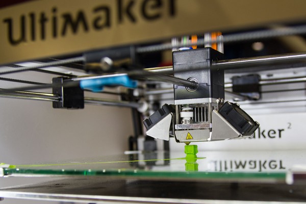
Better 3D Print Positioning: Free Open Source Software

The STL-tweaker, developed by Salzburg Research, is a python module which finds an optimal orientation for a 3D object on the printing platform to improve the efficiency of the 3D-print.... » more

Geoserver – Rendering Binary Vector Tiles

Displaying maps on mobile devices is a common requirement. I expect a mobile map to be scalable, rotatable and always readable. The data that needs to be transferred for showing... » more
How to find us
Salzburg Research Forschungsgesellschaft
Jakob Haringer Straße 5/3
5020 Salzburg, Austria