Blogposts mit Tags: Smart Region & Mobility

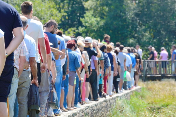
Nachhaltige Besucherstromlenkung im Alpenraum
Die Lenkung von Besucherinnen und Besuchern ist ein wichtiger Bestandteil des nachhaltigen Destinationsmanagements. Der Alpenraum ist dabei durch einen gestiegenen Besucherdruck und den großen Anteil an individuell anreisenden Gästen mit... » more
4 brisante Trends in der touristischen Mobilität
Vier aktuelle Trends haben in der touristischen Mobilität speziell in ländlichen Ferienregionen wie dem Alpenraum eine besonders hohe Bedeutung. Sie führen zu zahlreichen Herausforderungen und Konflikten. Ein nachhaltiges Destinationsmanagement muss... » more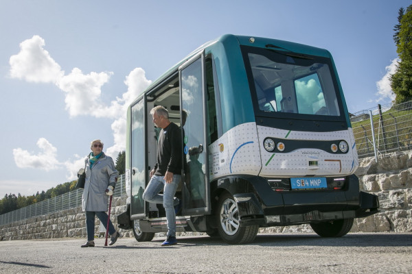
Wie sich Fahrgäste in fahrerlosen Shuttles sicher fühlen
Salzburg Research hat in einer Studie das Sicherheitsempfinden von Fahrgästen an Bord eines fahrerlosen Shuttles ohne Operator untersucht. Die Ergebnisse helfen sowohl in der Forschung wie auch bei der Produktentwicklung... » more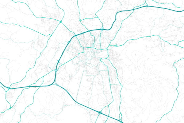
Easily managing transport graphs with “Graphium”
Efficiently managing Transport Graphs (TGs) is a crucial requirement of Transport-related Geographical Information Systems (GIS). A TG models a transport network as mathematical graph structure of vertices and edges. TGs... » more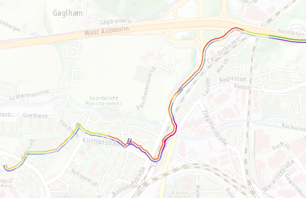
A QGIS plugin to visualize GPX-data as line-segments between track points
The native GPS eXchange Format (GPX) file importer for the open-source geo-information software QGIS features multiple options to create vector layers. This includes the import of track points as a... » more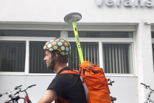
One week with Leica’s brand new GG04 GPS antenna
Recording GPS on the go has never been easier than with the smartphone. However, while your phone’s GPS capabilities may be sufficient for finding the nearest beer garden, it leaves... » more
Alpine Ski World Championship meets OpenStreetMap: Who are the Mapping Champions?
These days, every ski enthusiast keeps an eye on St. Moritz (Switzerland), the host of the Alpine World Ski Championship 2017. As ski and map enthusiast, one of my eyes... » more
Geoserver – Rendering Binary Vector Tiles
Displaying maps on mobile devices is a common requirement. I expect a mobile map to be scalable, rotatable and always readable. The data that needs to be transferred for showing... » more